
Walk a Goshen Street Record
A sound Goshen street directory search moves from the place to the people, not the other way around. An address can lead to a parcel and owner of record, but ownership does not prove that the owner lives there. A dated directory entry can suggest an occupant, while a deed proves a transfer of a legal interest. Use each source for the narrow fact it actually records.
- Normalize the street number and name, then search the address in Elkhart County Beacon.
- Open the selected parcel in map view and save its parcel number, situs address, owner, and Property Record Card link.
- Use the parcel and legal description to find recorded deeds through Tapestry or an office computer.
- Check Goshen permits and code files for dated work tied to that address.
- For older occupants, compare the nearest directory, census, newspaper, and map dates at the library.
This sequence also exposes conflicts. A tax mailing address may be outside Goshen, a permit applicant may not be the owner, and an old directory may describe a corner instead of giving a number. Record the date and wording of every result before joining names.
Search Goshen Addresses in Beacon
The Elkhart County Assessor GIS page sends the public to Beacon for free property search and mapping. The county guide documents three search choices. No login is required for the public search. After choosing a result, a researcher can open map view or follow the parcel-number link to a Property Record Card PDF. This is the modern base of the street directory.
| Beacon control | Input | Recorded behavior |
|---|---|---|
| Owner | Text with matches | Select an owner from autocomplete or the result list |
| Address | Text with matches | Choose the matching property before opening its card |
| Parcel Number | Text | The official guide says the number must include 20 |
| View Map | Control | Places the chosen parcel in map context |
| Property Record Card | Link | Opens the assessor's PDF record |
The official county guide, rather than the blocked live vendor screen, supports these field details. The platform was implemented on November 15, 2024, and existing accounts migrated on December 4, 2024.
See the Beacon parcel map and address search before viewing the captured search screen.
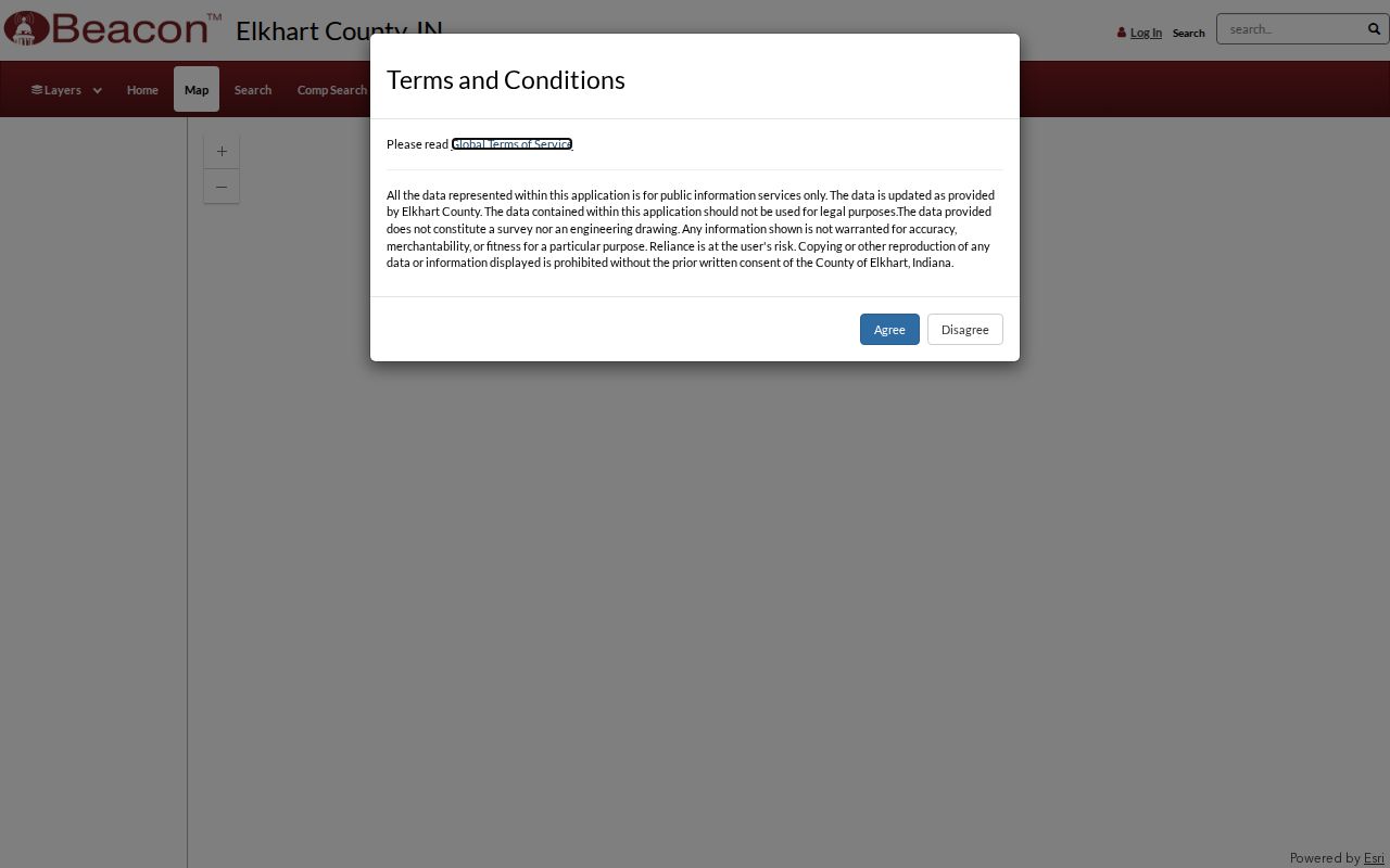
The map view turns one address result into parcel context, while the card link supplies the record fields that should be logged.
Goshen Street Record Terms
Address systems use several terms that look alike but answer different questions. Those differences matter when a Goshen owner receives mail elsewhere or an older deed omits the modern house number.
- Parcel
- A mapped unit of land with a county identifier.
- Situs address
- The physical location assigned to the parcel, distinct from the owner's mailing address.
- Plat
- A recorded drawing that defines lots, blocks, easements, and boundaries.
- Criss-cross directory
- A directory arranged by address or street so a researcher can work from place to name.
A legal description is often the strongest bridge across a changed address. It follows the land in a way a street label may not.
Goshen Permits Work by Street
The Goshen permit portal help gives unusually exact advice: enter the street address without city, state, ZIP, or apartment on the first screen. A unit can be added later. Basic fields also accept a licensed contractor, license holder, reference code, or permit, license, or case number.
Advanced search adds project type, Council District, description words, date ranges, and combined criteria. Results update in real time and may be exported up to 200 records. A permit shows activity linked to a place, not a complete household list and not proof that the applicant occupied the site.
Open the city's address-search instructions before viewing the captured portal screen.
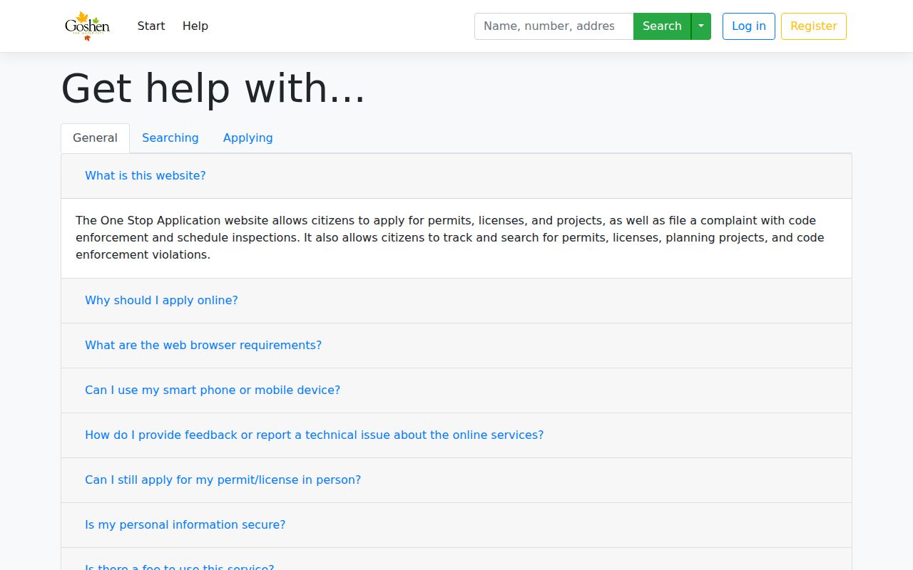
The screenshot preserves the local format rule that makes an address search more likely to return the right city file.
Map Goshen Parcels by Street
Beacon map mode supports parcel selection and links back to the property card. It is useful for walking a named street one lot at a time. The official materials do not confirm a radius tool, a buffer tool, or a complete list of map layers, so a street directory should not claim those features.
The Planning and Development GIS route adds another access channel. Its staff accepts a public-records request by email when plats or plan filings are not exposed online. That route matters for a lot split, easement, or old plan that cannot be understood from the parcel card alone.
Review the county GIS and records page before the captured planning screen.
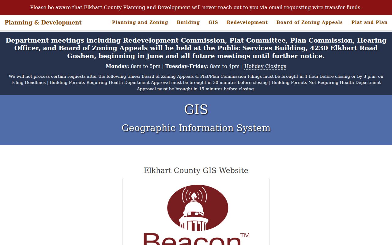
The planning route is the documented fallback when the map supplies context but not the underlying filing.
Separate Goshen Address Roles
A Goshen Property Record Card may show a parcel key, owner, property address, prior transfer dates and sale prices, township, neighborhood, dimensions, values, effective year built, and building features. These are assessment fields. They do not identify every person who uses the building.
Compare the situs address with the owner's mailing address. A match may support, but does not prove, occupancy. A mismatch is common and does not prove absence. The deed adds the legal conveyance; a dated directory or census adds a household clue. Label each fact as owner, mailing contact, occupant clue, or structure evidence.
Goshen Records Indexed by Address
No single Goshen roll answers every street question. The street directory must combine records that overlap, each with a distinct keeper and access path.
| Address source | Custodian | Useful fact | Access path |
|---|---|---|---|
| Parcel card and map | Elkhart County Assessor | Owner, situs, parcel, transfers, assessment | Beacon, then Assessor |
| Deeds and plats | Elkhart County Recorder | Recorded transfer and legal description | Tapestry, office computer, copy request |
| Permits | City of Goshen | Project, address, case, and date | City portal, dashboard, records request |
| Historic directories | Goshen Public Library | Dated name and address clue | Indiana Room, microfilm, staff lookup |
| Sanborn maps | Library and State Library | Building footprint, use, and old numbering | Microfilm and digitized editions |
Use the portal first, then its office or written fallback. Certified copies must come from the custodian, not from a saved screen.
Follow Deeds Along Goshen Streets
Start the deed chain with the parcel number, legal description, and current owner. The Elkhart County Recorder preserves deeds, mortgages, liens, plats, releases, contracts, and other land instruments. Tapestry is the online path, but the Recorder does not publish its first online year.
Copy the instrument number, grantor, grantee, recording date, and legal description. Then search the seller as a prior grantee. If the online session fails, use a public computer at the Recorder's office. Staff do not perform open-ended research, but a precise copy request can use recording data, book and page, names, or a focused date range. Mail requests should include a self-addressed stamped envelope.
Portal gap. The in-office computers are the best documented fallback when Tapestry does not reveal enough county search detail.
Decode Old Goshen Street Entries
The digitized Kramer directory for 1885-86 may describe a residence by compass side, corner, cross street, or distance instead of a modern number. Its abbreviation key defines terms such as res, rms, bds, cor, nr, and directional letters. Read that key before placing a name on a map.
No official citywide Goshen renumbering year was found. Do not invent one. When old and current labels disagree, compare the legal description, plat, Sanborn sheet, cross street, and nearby directory entries. The Millrace, rail corridors, historic district, and old road junctions can serve as stable geographic anchors.
The historical collections themselves are covered in the Goshen city directory; the street task here is translating one dated location into today’s parcel context.
Goshen Code Files by Address
The Goshen code complaint form accepts a street address, complaint type, description, and attachments, with optional contact details. A filed complaint can create a case tied to a place. It does not establish who caused a condition or who lived there.
Use the case number for a focused follow-up. If the record packet is not online, ask the city for the responsive public file under Indiana's Access to Public Records Act. The request should name the address, record type, and date span instead of asking staff to identify everyone linked to a street.
Check the Goshen address complaint screen before viewing the captured form.
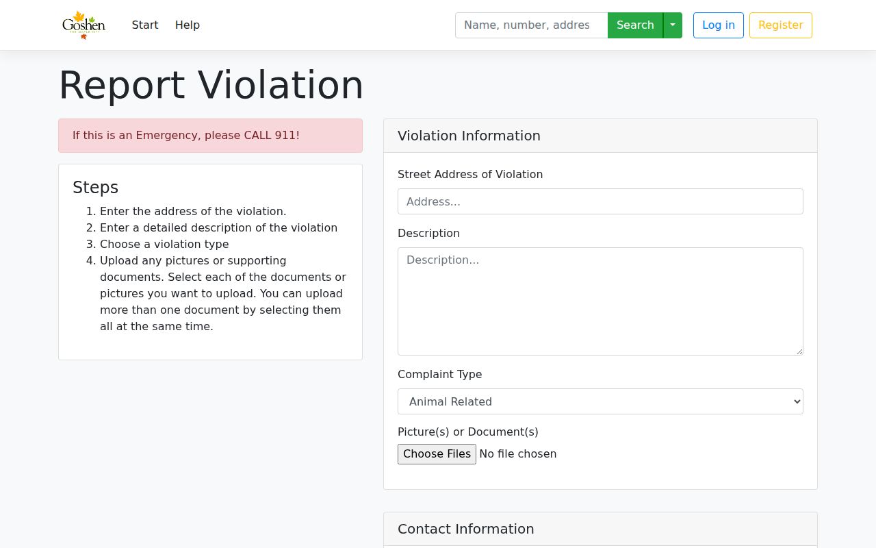
The form shows why a complaint is address evidence, not a resident roster.
Place Goshen Streets in Context
A street name alone may span more than one kind of place. Goshen's official neighborhood map names Chamberlain, College Farm, East Goshen, East Lincoln Crossroads, Historic Dickerson Landing, Historic Racemere Peninsula, Historic Southside, Maplecrest, Northside, Parkside, Pickwick Village, Rieth Park, Shanklin Millrace, Terrace Park, and West Goshen. The map defines geographic areas. It is not a roster of residents or association members.
Physical features can also clarify an old address. Goshen covers about 16 square miles and includes the historic central business district, Millrace, rail corridors, Pumpkinvine Trail, greenways, and Goshen Dam Pond. An early entry described by a road, corner, or compass side may make more sense when compared with those long-lived features, a plat book, and a Sanborn map.
City limits and postal labels answer different questions. A Goshen mailing label does not by itself prove that a parcel lies within the municipal boundary, and present limits do not prove the same street segment belonged to the city in an earlier year. Confirm the parcel's government unit in Beacon, then use the record custodian that covered the site at the date under study.
For a whole named road rather than one block, keep a row-by-row log of situs address, parcel number, owner-of-record date, source, and unresolved conflicts. That makes a Goshen street directory reproducible without turning public files into an unsupported list of occupants.
Limits of a Goshen Street Directory
A Goshen street directory cannot prove that an owner occupies a parcel, name every member of a household, or supply a complete list of people on a block. A permit names a project contact, not all occupants. A historic directory is only a dated snapshot. Confidential, sealed, and protected addresses must remain protected.
Indiana Voters lets a person check registration status and polling information, but the research does not expose a public street-by-street bulk roster. The Address Confidentiality Program also protects qualifying participants through a substitute address. Never infer a hidden home address from gaps across public records.
Lawful use. Use Goshen address records for lawful personal research, family history, property questions, and civic transparency. Never use them to stalk, harass, intimidate, or expose a protected person.