
Goshen Neighbors by Public Source
Block research works by combining place records, not by downloading a roster of Goshen neighbors. Beacon maps parcel shapes and links to property record cards. The Recorder keeps plats, deeds, mortgages, and other recorded interests. Goshen's city portal adds permits and code matters by address. The official neighborhood map names an area, while library and cemetery sources can supply historic context. Each tool answers a different question.
| Source | What It Shows About a Block | Access |
|---|---|---|
| Beacon map | Parcel shapes, selected lot, owner and card link | Free public search |
| Property record card | Parcel key, situs, owner, transfers and improvements | Beacon PDF link |
| Recorder records | Lots, blocks, easements, deeds and recorded interests | Tapestry, office terminal, or copy request |
| Goshen permits | Address, project, permit or case, and dates | Public portal; advanced tools by account |
| Neighborhood map | Named area boundaries and nearby streets | Official city PDF |
| Local history sources | Past names, burials, directory addresses and notices | Library, society, city, or microfilm |
An owner name is not a list of occupants. A mailing address may differ from the property's situs address, the physical location used on the card. Permits identify parties tied to a project. Historic directories place people in an earlier year. Keep those labels intact when describing the block.
Map Goshen Neighbors by Parcel
The Elkhart County Assessor moved property search to Beacon in late 2024. Its official guide confirms owner, address, and parcel-number searches, plus a map mode and Property Record Card link. The live map did not expose a documented buffer or radius tool during research. Do not claim one exists. A careful adjacent-lot method still works by selecting the known parcel and opening the lots that visibly touch it.
- Search the known street address in Beacon and open its parcel.
- Record the parcel number, situs address, owner, and legal-description clues.
- Use map mode to select each visibly adjacent lot and open its card.
- Compare mailing and situs lines without assuming that the owner occupies the property.
- Use a plat or deed when the apparent map edge needs legal confirmation.
The result is a parcel-by-parcel block view. For a full named road rather than the immediate lots, use the Goshen street directory workflow.
Note: Beacon's guide says a parcel-number search must include the county prefix 20.
Confirm Goshen Neighbor Lot Boundaries
A map click is convenient, but deeds and plats carry the formal land description. A plat divides land into lots, blocks, streets, and easements. A deed records a conveyance from grantor to grantee. Tapestry provides online access to recorded documents, though its live county search fields depend on an active session and the Recorder does not publish the first online index year.
When Tapestry does not expose the needed search path, use the Elkhart County Recorder's office computers, ask staff about the correct access route, or submit a defined copy request. The Recorder does not conduct an index search for a visitor. Bring the parcel number, legal description, party name, or instrument details that narrow the request.
The Tapestry recorded-document portal shown here is one access channel for Goshen land records.
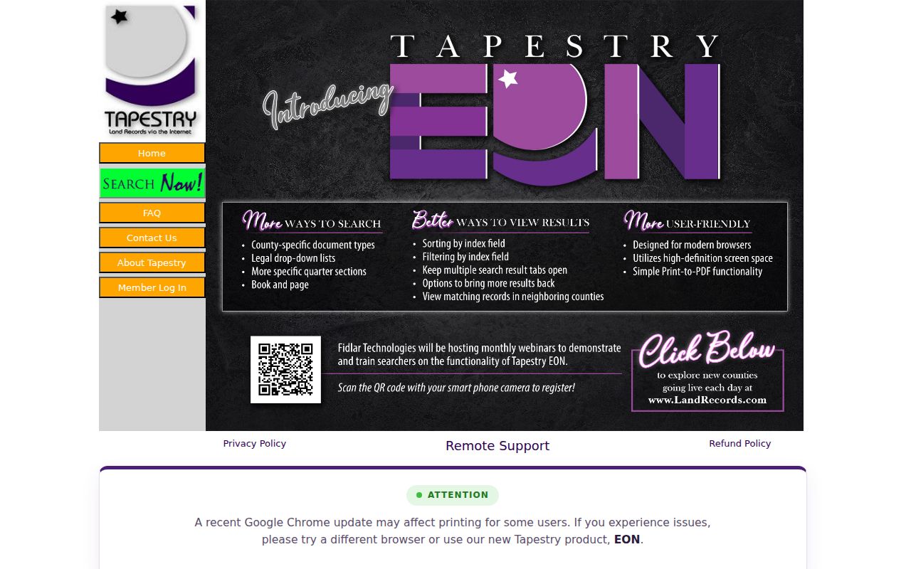
Use it after the parcel map supplies a legal description or owner name, then retain the instrument number and recording date.
Read Goshen Neighbor Permit Records
The Goshen permit dashboard adds activity tied to nearby addresses. The basic portal says current data are real time, while its dashboard separately offers recent construction reports and annual valuation reports. Do not treat those coverage statements as the same. Search results may show permit, license, or case numbers, project type, address, Council District, status, dates, contractor, or license-holder details when present.
The initial address field has a local quirk: enter the street address without city, state, ZIP, or apartment. The unit is added later. Advanced filters can use date, project type, Council District, status, and other fields, and an account can export up to 200 results. A permit party is tied to work, not proven to be one of the current Goshen neighbors.
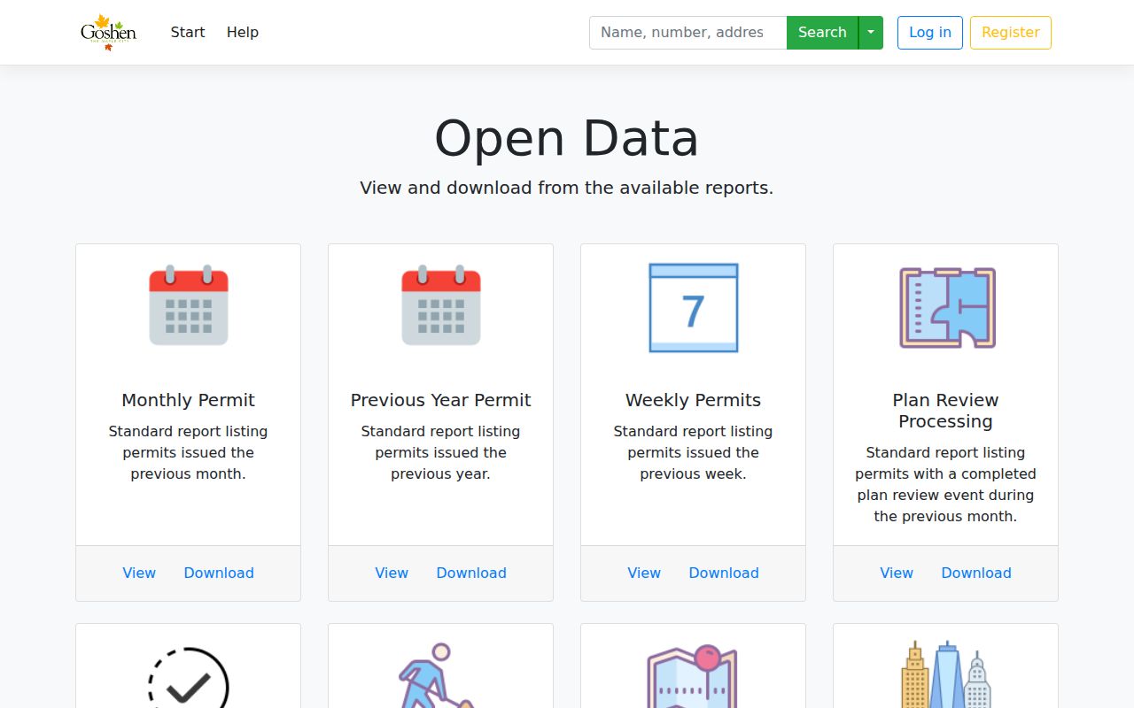
The dashboard supplies a dated activity layer that can explain work seen on a block without identifying every household.
Place Goshen Neighbors by Area
Goshen's official neighborhood-association map names 15 areas. It is a geographic index, not a current member roster. The map can identify which named area surrounds a parcel and show nearby streets, but it cannot prove that an owner or occupant belongs to an association.
Central and Historic Areas
Historic Dickerson Landing, Historic Racemere Peninsula, Historic Southside, Northside, and Chamberlain.
East and South Goshen
East Goshen, East Lincoln Crossroads, College Farm, Maplecrest, and Pickwick Village.
Parks and West Areas
Parkside, Rieth Park, Shanklin Millrace, Terrace Park, and West Goshen.
Use the official Goshen neighborhood map as the umbrella source. No verified public association membership directory was located, so contact information or rosters should not be invented.
Read Goshen Neighbors' Geography
The Millrace, Pumpkinvine Trail, Goshen Dam Pond, rail corridors, greenways, and the central historic district give local meaning to the word "near." Two parcels may sit close on a map yet fall on opposite sides of a waterway, rail line, park edge, or named neighborhood boundary. These features help describe a block's physical setting without claiming anything about the people there.
Service geography also differs from municipal geography. The Elkhart County 911 Center serves the county except Elkhart City. That fact does not define Goshen city limits or a postal area. Use a city map for municipal boundaries, Beacon for parcels, the neighborhood PDF for association areas, and the proper public-safety source for service coverage.
Postal labels add one more layer. Goshen addresses use more than one ZIP, and a ZIP does not trace a city line or neighborhood edge. County administration and city offices themselves use different Goshen ZIP labels. When a nearby address seems to fall outside the expected area, check the exact address through USPS, then return to the parcel and city maps. Do not group neighbors solely because their mail carries the same Goshen name.
Find Historic Goshen Neighbors
Current parcel cards cannot reconstruct an earlier block by themselves. Goshen Public Library's Indiana Room holds directories, newspapers, plat books, maps, yearbooks, cemetery books, and local vital indexes. A criss-cross directory is arranged by address rather than surname, so it can place the households listed around one street segment in a specific year. The historical run has gaps, and an entry remains a dated clue rather than proof of a continuous stay.
Cemetery and obituary sources can extend that trail. Oakridge, Violett, and West Goshen have different histories. West Goshen's stones may have been moved or replaced, so a surname index needs source review. The West Goshen Cemetery history and index notes make that limitation clear.
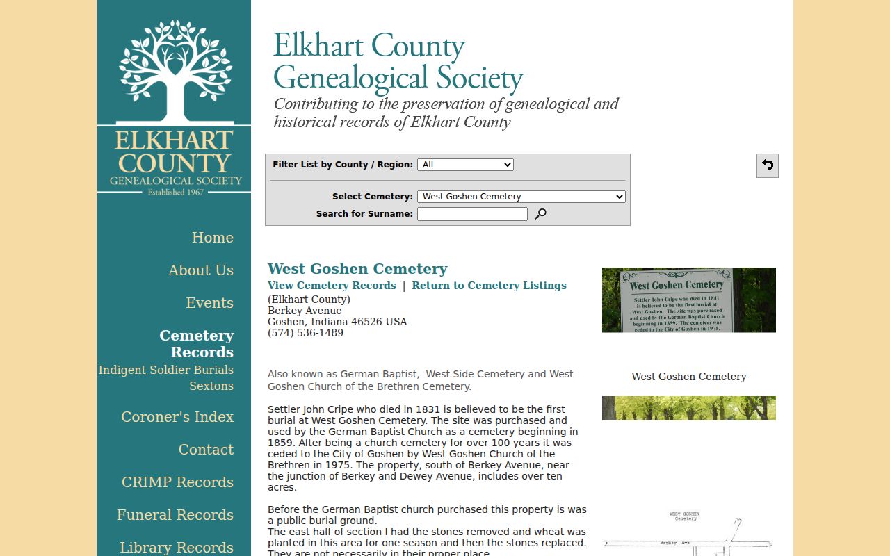
The cemetery source can connect a historic name to a place and date, but it should be paired with a directory, notice, or underlying burial record.
Old Goshen addresses also need care. The 1885-86 directory may describe a home by compass side and cross street instead of a modern number. No verified citywide renumbering chronology was located. Use the volume's abbreviation key, a period plat, a Sanborn fire-insurance map, and the legal description to bridge the old address. Label the conclusion as historic map or directory evidence until another dated source confirms it.
Compare Goshen Neighbor Sources
Official records and commercial neighbor tools are built for different purposes. A county source usually gives a narrow fact with a known custodian and date. A commercial profile may blend purchased data, public filings, marketing lists, and inferred associations. A polished combined result is not more authoritative than the original deed, card, permit, or docket.
| Source Type | Best Use | Main Limit |
|---|---|---|
| Beacon and Assessor | Parcel, owner of record, situs, card | Does not list every occupant |
| Recorder and city portal | Recorded interests and address activity | Parties are not necessarily residents |
| Library and cemetery sources | Historic block and family context | Coverage dates and gaps must be stated |
| Commercial category | Possible lead for later confirmation | Mixed sources, inferred ties, and stale data |
Prefer the custodian record for the one fact needed. Record its date and scope. If a commercial profile is wrong, correct the government source first when the error began there, then use the service's current privacy process.
Indiana Voters is also narrower than many readers expect. It supports a person's registration status, polling place, county contact, ballot information, and provisional-ballot status. The public interface's exact fields were not captured, and official sources do not support treating it as a free household list. Defined voter-record requests may be made through the proper office, but confidential identifiers are redacted and Address Confidentiality Program protections still apply.
Respect Goshen Neighbors' Privacy
Indiana's Access to Public Records Act does not turn an address database into an unrestricted people list. Confidential identifiers, sealed court matters, restricted vital records, and protected voter information remain closed or redacted. The Attorney General's Address Confidentiality Program provides qualifying survivors with a substitute mailing address. A participant also uses the county voter confidentiality process to protect that registration record.
Do not publish a list of adjacent owner names. Do not infer that a renter, family member, permit holder, or association member lives at a parcel unless a dated source supports that narrow statement. If the inquiry concerns a survivor or protected address, stop the search and use the official confidentiality channel.
Lawful use. Explore Goshen neighbors for civic curiosity, local history, reconnecting, or personal safety. Never use these records to watch, harass, intimidate, or harm anyone.